The answer is yes. Eleven months ago, we saw heat index readings in the 120s here in Kentucky! Those were the highest readings I can ever remember in Kentucky.
Today, we are getting dangerously close to those readings. Check out this pic from right here in Lawrenceburg this afternoon:

That is some DANGEROUS heat. As a sprawling upper high moves across us today and tomorrow, we can expect more of the same. The NWS has gone ahead and issued a Heat Advisory for the bluegrass counties of KY for Tuesday. For everyone along and west of I65 in Kentucky, an Excessive Heat WARNING is in effect. Take this seriously! People die every year in the heat unexpectedly!
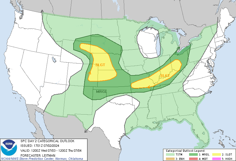
GFS model is hinting at thunderstorms firing tomorrow, and if that happens it will temper this heat a little bit. Actually, SPC has central KY in the Slight Risk zone for severe weather. Any storms that DO get going will be able to cause damage. Here is the latest outlook:

I'm still trying to work out the bugs and figure out the format of the blog...bear with me.
-Shawn


